US 66 Facts
Links to Useful Information on our website
Route 66 Maps
Check our Route 66 Maps webpage, it links to all our maps of Route 66.
For each of the towns on Route 66 and each of the States listed below we include a map with the alignment of US 66 through the town and state.
Texas State Highway Dept. Map from 1936
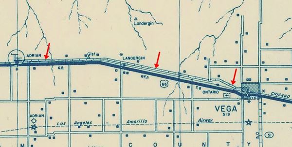
Another sample map.
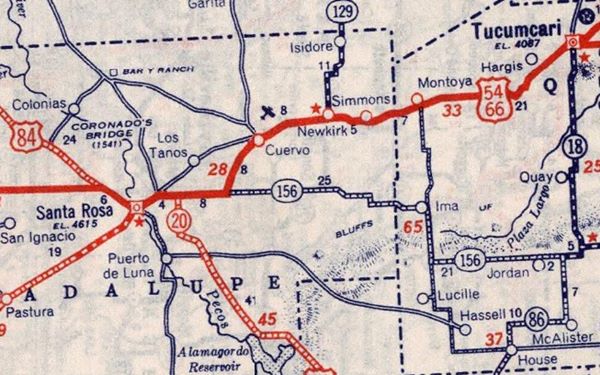
Route 66 Map Tucumcari to Santa Rosa in 1939
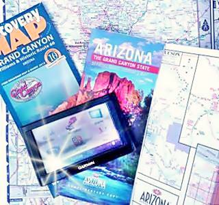
Route 66 Maps and brochures. A. Whittall
State-by-State maps of Route 66
- Illinois Route 66 Map
- Missouri Route 66 Map
- Kansas Route 66 Map
- Oklahoma Route 66 Map
- Texas Route 66 Map
- New Mexico Route 66 Map
- Arizona Route 66 Map
- California Route 66 Map
Don't miss our Altimetric information page to learn about the elevation and highest points along Route 66.
History of Route 66
Route 66 has been an important part of American life since it was created in 1926. It is deeply linked to the fate of many towns, to the travel, lives and experiences of millions of Americans who rode along it seeking jobs, new horizons or enjoying their vacations.
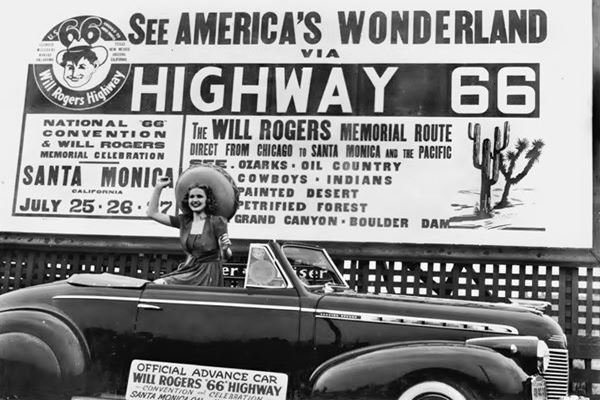
Our History page, tells the full story of U.S. Highway 66.
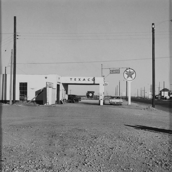
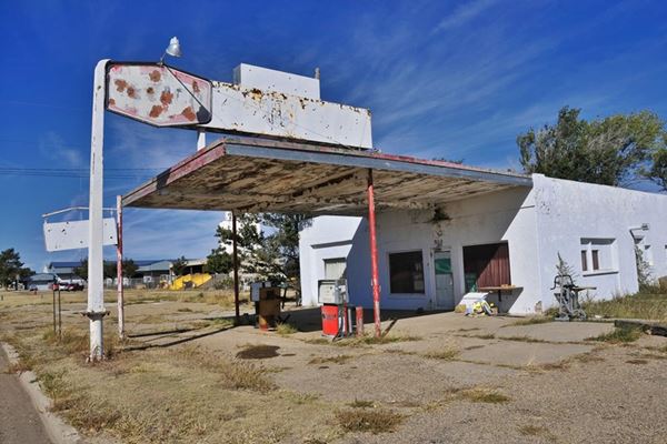
And each of our "Town" pages has historic photos, and Then-and-Now sequences showing the same places along Route 66 as the years go by. Below is the Vega Texaco, then (1962) and now (2021).
Texaco on Route 66 by Edward Ruscha, 1962
Texaco on Route 66 in Vega TX
Trivia and Curious facts

Flagstaff Lumberjack, a Muffler Man.
All the Facts you need to know about Route 66
Visit our Trivia page to learn all Route 66's fun-facts, trivial data and curious information.
Some Route 66 Trivia
Did you know that the very First ever McDonald's opened on Route 66 in California? or that Route 66 was not the longest U.S. Highway?
Learn about the Muffler Men on Route 66.
These fun facts and more at our Trivia page.
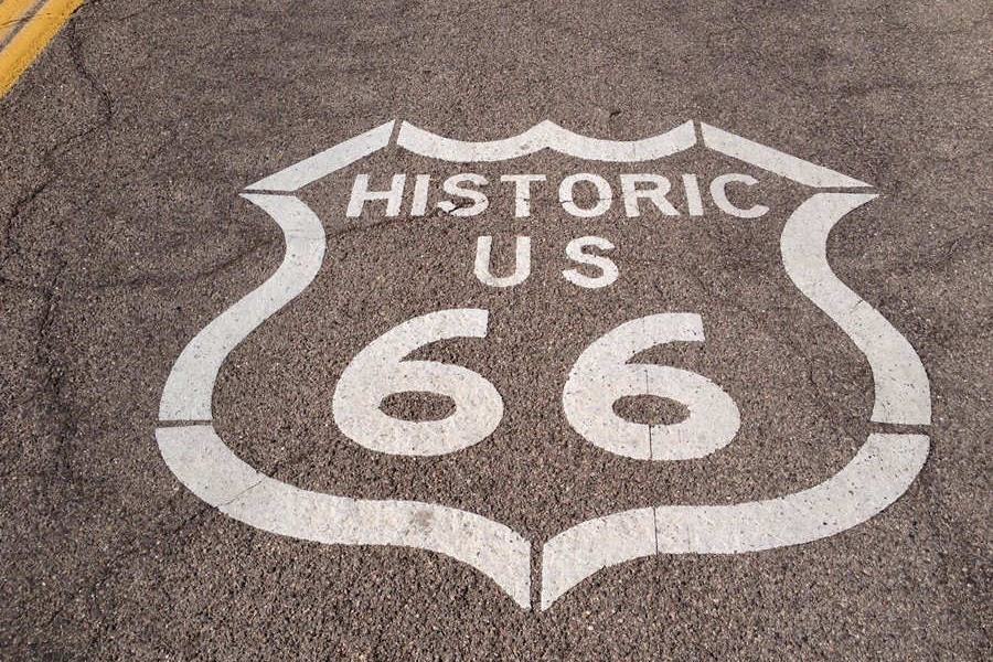
Shield on the roadway in front of the gas station between Kingman and Oatman in Arizona:
Route 66 FAQ
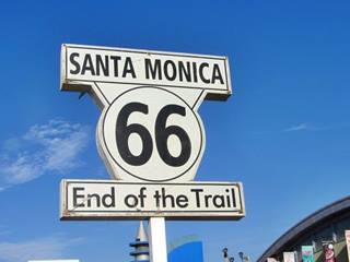
End of Route 66 sign on Santa Monica Pier, Santa Monica, California
- How long is it?
- Can you still drive the entire Route 66?
- Is it dangerous for tourists?
- What are the speed limits?
- Where are the Route 66 shields painted on the road?
- Where does it start? and where does it end?
- Where is Route 66?
- How much time will it take me to drive it?
- Is Route 66 worth driving?
- Why is Route 66 so famous?
- Why was Route 66 Decommissioned?
- Was Route 66 the longest highway in America?
These and other questions are anwered at our FAQ page
What are the Top Ten Sights in each State?
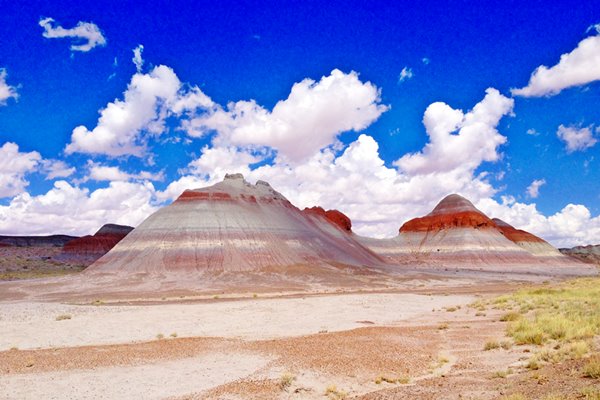
Learn which are the top sights in each state along Route 66, like Petrified Forest National Park, near Holbrook in Arizona
>> Read our Detailed Description of Route 66

States along US 66
Click below to learn all about Route 66's alignment, attractions and landmarks in each of the states crossed by Route 66:
< Head West
California ¦
Arizona ¦
New Mexico ¦
Texas
Head East >
Oklahoma ¦
Kansas ¦
Missouri ¦
Illinois
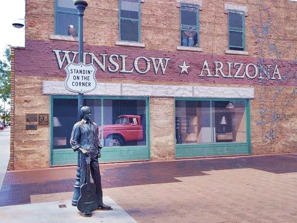
The statue at the famous "Corner" in Winslow Arizona. Route 66
>> Did you know that you can Drive the whole of Route 66 in 7 days?
Some sponsored content
> > Book your Hotel in Santa Monica

Credits
Banner image: Hackberry General Store, Hackberry, Arizona by Perla Eichenblat


