Q & A: Route 66
Frequent Questions
- Where Does Route 66 Start?
- How Long is Route 66?
- Can the whole route be driven?
- Where Does Route 66 End?
- When is the best time to Drive Route 66?
- How long will it take?
- Is the Road Paved?
- What Papers will I need?
- What are the Speed Limits?
- What about gasoline?
- What is the Weather like?
- Is Route 66 still the longest road in America?
- Will I get lost? Is it easy to Follow?
- Should I book my hotels in advance?
- Major Cities on Route 66?
- Is Route 66 Dangerous?
- Why is Route so Famous?
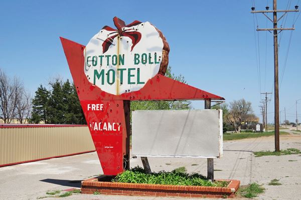
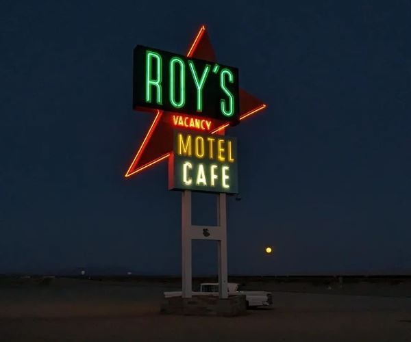
Cotton Boll Motel neon sign
Questions and Answers
Our Frequently Asked Questions
Where does Route 66 start?
Q: Where does Route 66 Start?
A: Route 66 starts in Chicago, Illinois in Central Northeastern USA, and runs all the way to Santa Monica in California, on the Pacific Ocean.
>> Learn more about Where is Route 66
>> Where does Route 66 start and end?
How Long is Route 66?
Q: What is the length of Route 66?
A: The current length of Route 66 is 2,278 miles (3.665 km). Its original certified length in 1926 was longer: 2,448 miles (3.939 km).
>> Learn more about How long is Route 66?
Can the whole of Route 66 be driven?
Q: Can the whole route be driven?
A: Roughly 85% of the original alignment of U.S. highway 66 can still be driven. We detail the original route in each of the Towns along the highway and also, on a state by state basis (check: Route 66 Facts).
>> Learn more about Can you still drive the entire Route 66?
Where does Route 66 end?
Q: Where does Route 66 End?
A: Route 66 had several ending points over the course of the years. From 1926 to 1935 it ended in Los Angeles, California, USA. Then it moved to Santa Monica, also in California, on the Pacific Ocean from 1936 until 1964. From 1964 it moved eastwards: to Needles CA (1964-79), to Sanders Arizona from 1979 until the highway was decertified in 1979.
>> Learn more about Where does Route 66 start and end?
When is the Best time to drive it?
Q: When is the best time to drive along US 66?
A: spring and summer are the best time to drive the route, as there is no risk of snow. Midsummer may find the road with a higher flow of travelers, and more expensive daily lodging rates (It is High Season) but careful planning and booking in advance will ensure your hotel accommodations.
Spring is less crowded and early fall (autumn) also. Summers are hot in the Southwest and thunderstorms are not infrequent in that region.
>> Learn more about When to Visit Route 66.

Questions about Route 66
How long does it take to drive Route 66?
Q: How long does it take to drive Route 66?
A: That depends on how you intend to enjoy your road trip. If you drive 6 hours a day and stick to the interstate highways, you can drive from Chicago to Los Angeles in less than a week, but then you would miss out on most of the fun.
If you take the old alignments, and drive through the Main Streets of each town along the road, stopping at the attractions and landmarks, take side trips to visit National Parks (think Grand Canyon) and relax at your hotels... then you can take between 2 and 3 weeks, or more. It is up to you.
Check the 1-Week Route 66 Road Trip Itinerary that we have put together: it covers the whole Mother Road in only one week!
>> Learn more about Tips for a Great Road Trip.
Is the road paved?
Q: Is the Road paved?
A: Route 66 had many alignments since it was commissioned in 1926. As time passed, its roadbed was improved and by 1938 the full length of the highway had been paved.
However, later, as the Interstate system replaced sections of the original Route 66, some of these segments were not maintained and fell in disrepair.
Although most of the road is paved, there are some segments that are unpaved: Glenrio to San Jon in New Mexico is a gravel surfaced road. The Jericho Gap in TX is still a dirt road. These can be bypassed along I-40.
Other sections of the road were integrated as the frontage roads of the Interstate highways, so they are well up kept. Other sections may be temporarily closed due to damage (as was the case in California after severe flood damage in the Mojave in late 2014 which are still closed!).
And other parts of US 66 are now overlaid by the freeway, buried beneath the newer alignment.
>> Learn more about Road Conditions along U.S. 66.
What papers should I bring with me?
Q: What papers should I bring along with me?
A: International visitors will need their passport and Visa to enter the US. The passport should not expire until after your departure from the US.
For the driver(s), a valid driver license (an international license is NOT necessary), the drivers' license should cover the type of vehicle that your will be driving (RV, motorcycle, etc.).
Travel insurance is fundamental because medical costs are high and sometimes the unexpected happens in the form of an emergency illness. Comprehensive insurance covering trip delays, medical expenses, accidental death, lost baggage, medical evacuation. Make sure it covers you and your family members traveling with you.
>> Learn more about Travel Insurance.
Don't forget your Credit Card.
What are the Speed Limits?
Q: what are the speed limits?
A: each state sets its own speed limit, and within each state they vary depending on the type of road, road conditions and setting (towns, countryside).
Speeds in general (for highways) range from 55 to 75 mph. See detailed information at this external link : State Speed Limits (Governors Highway Safety Association).
In urban areas, speeds are lower than in rural ones. Be aware of the speed limits within the towns, especially close to schools. Signs will indicate the maximum (and on some highways, the minimum) speeds. One should always drive at a reasonable and prudent speed based on road and weather conditions.
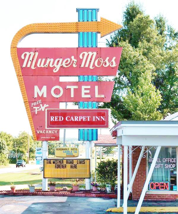
Munger Moss Motel Neon Sign, Lebanon MO
What about Gasoline (Fuel)?
Q: Will I have problems in filling my tank?
A: In America, there are plenty of service stations, and Route 66 is not an exception. You will find fuel along the route. Mostly self-service filling stations where you prepay with your credit card at the petrol pump.
Gasoline is relatively cheap in the U.S., check this external link Gasoline and Diesel Fuel prices (www.eia.gov).
What is the Weather like?
Q: What kind of weather can I expect?
A: The weather you will encounter depends upon the time of the year that you go on your road trip: summer is hotter in the Southwest and also wetter in the northern sections of the Road. Fall or even early spring may surprise you with unexpected snow.
Route 66 crosses America in a wide arch from Chicago to Los Angeles. It crosses different climate zones, mountains, hills, plains, and deserts... the weather is quite different in different parts of the road. Even in summer, there is ample variation of temperatures between daytime and nighttime in the Southwest.
>> Learn more about Weather along Route 66, see our state by state detail of the climate, temperatures, rainfall, and snowfall.
Is Route 66 still the longest road in America?
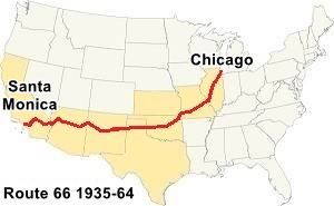
US 66 Chicago, IL to Santa Monica, CA
Q: Is U.S. 66 still the longest highway in America?
A: People ask us "Is Route 66 still the longest road in America?" and the answer is NO: it wasn’t the longest road when it existed, and it was decommissioned in 1985. The longest U.S. Highway nowadays, and since 1964, is U.S. Route 20 (3,365 miles): Boston, MA to Newport, OR. But the longest ever was US Route 6 with 3,652 miles, from 1931 to 1964.
>> Learn more about Route 66 and the longest highways in America, with a Ranking, maps, and how the list has changed over time.
Will I get Lost? Is it easy to follow?
Q: Will I find my way and not get lost?
A: When Route 66 was decommissioned as the Interstate system bypassed it, its signs and road shields were removed, but over the past 20 years, it has once again been valued for its historic and cultural worth and identified.
It is no longer a U.S. Highway, so do not expect the usual US Hwy. shield. Instead, each state has taken care of its segments of the Mother Road and placed appropriate signs.
Each state has identified the former US 66, and some have renamed it as State Highway 66 or Historic Route 66.
>> Visit our Itinerary page for a clear view of the alignment of U.S. 66, you will not get lost.
>> Don't miss our Detailed description leg-by-leg with custom interactive maps of the alignments of US66, and a description of each leg from Chicago to Santa Monica.
You will find your way along Historic Route 66 with no problems. In each of our Town webpages, we include a map showing the full alignment of U.S. 66 in the state of that town.
Should I book my accommodations beforehand?
Q: Should I reserve my hotels in advance?
A: You can drive the route on an open plan and stop at any motel that catches your eye. But it is risky, especially during the summer holidays or vacation period. Reserving a hotel or motel in advance is safer. The main hotel and motel chains offer rooms along Route 66, so you should have no problems in booking your rooms in advance.
Some key lodging may be fully booked months in advance, so pinpoint these locations and reserve with plenty of time.
Carry proof of your reservation (i.e., your confirmation number) just in case.
There are, of course, the Vintage and Route 66 "must-see" hotels with thematic rooms, and also the "classic" lodging places along the road. These places should be booked well in advance. Demand is high.
Lodging along the Route
Check out the hotels and motels at your stopover points; book a room in advance if you will travel during peak tourism season.
What towns does Route 66 go through?
Q: What towns does Route 66 go through?
A: Route 66 goes through hundreds of towns, cities, and villages between Chicago and Santa Monica.
We describe each town, its sights, attractions, landmarks, and accommodation. You can find all the towns Route 66 goes through on our Towns on Route 66 web page.
You can also check hotels & motels in the towns on Route 66.
Some Major Cities on Route 66
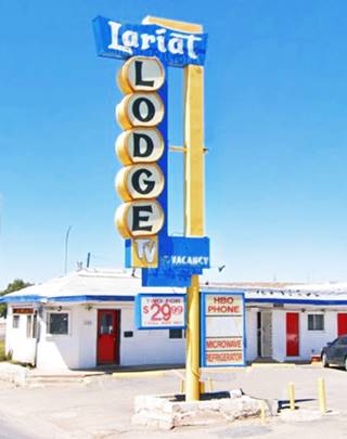
Lariat Lodge Neon Sign, Gallup US66 NM. Click for St. view
Route 66 goes through these major cities:
- Chicago
- Springfield IL
- St. Louis
- Springfield
- Tulsa
- Oklahoma City
- Amarillo
- Albuquerque
- Santa Fe
- Flagstaff
- Los Angeles
Is Route 66 Dangerous?
Q: Is Route 66 Dangerous?
A: If you are planning a Route 66 road trip, you may wonder if it will be a safe experience or if there are risks involved.
This is quite a common question; after all, Route 66 was known as "Bloody 66", and it earned this name due to the fatal car accidents along its alignment during its heyday.
Fortunately, the highway is safe to drive; its destinations are mostly small cities and towns with low crime rates. Your drive along US66 should be an enjoyable and uneventful adventure.
>> Learn more about Is Route 66 Dangerous? page, the potential safety risks, and why it was dangerous in the past. Plus some useful safe-travel tips.
Why Is Route 66 Famous?
Q: Why Is Route 66 Famous?
A: It began as a great highway linking Chicago with the Pacific in Los Angeles, and was well marketed and promoted by the U.S. 66 highway Association. Then it was driven by thousands during the days of the Depression in the 1930s, seeking jobs in California; traveled by GIs during WWII, and families on vacations in the 1950s and 60s. Its wacky and quirky attractions, its natural beauty, and its charm made it famous. Books, movies, and TV series portrayed it to the public. It became a famous icon of American culture, renowned across the world.
>> Learn more about Why is Route 66 so Famous
Even though Route 66 hasn't existed since 1985, this year, 2026 it celebrates its 100th Anniversary!
>> Learn all about Route 66 Centennial Celebrations 1926-2026
Sponsored Content
>> Book your Hotel in Kingman AZ


Credits
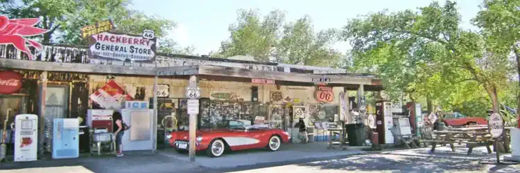
Banner image: Hackberry General Store, Hackberry, Arizona by Perla Eichenblat

