Table of Contents
Index to this page: The alignments with maps and full information in each of these states:
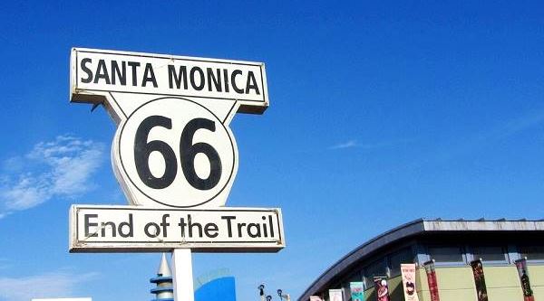
The "End of the Trail" sign on Santa Monica Pier
>> Did you know that you can Drive the whole of Route 66 in 7 days?
Illinois
California ¦ Arizona ¦ New Mexico ¦ Texas ¦ Oklahoma ¦ Kansas ¦ Missouri ¦ Illinois
Route 66 itinerary across Illinois
The complete itinerary of U.S. Hwy 66 from its starting point in Chicago to the Mississippi river in Southwestern Illinois. We have divided the state into the following legs:
- Chicago, where Route 66 Begins
- Chicago to Pontiac - Map of this segment.
- Pontiac to Springfield - Map of this segment.
- Springfield to Staunton (1926-30) - Map of this segment.
- Springfield to Hamel ⁄ Staunton (1930-1977) - Map of this segment.
- Hamel to St. Louis - Map of this segment.
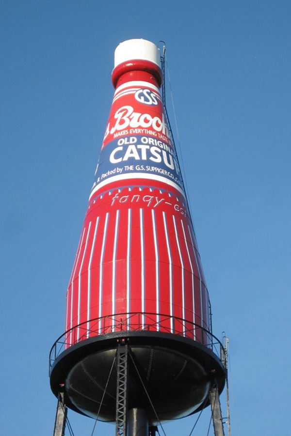
The Largest Catsup Bottle in the whole World, Collinsville IL
Missouri
California ¦ Arizona ¦ New Mexico ¦ Texas ¦ Oklahoma ¦ Kansas ¦ Missouri ¦ Illinois
Route 66 itinerary across Missouri
The course of Route 66 through Missouri from St. Louis in the Northeast to Joplin in the SW. These are each of the legs of the Mother Road across the state:
- Route 66 in St. Louis MO - map of this segment
- Gray Summit to Rolla - map of this segment
- Rolla to Springfield - map of this segment
- Springfield to Joplin - map of this segment
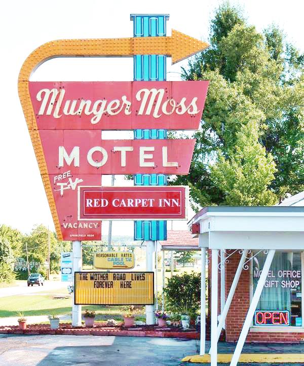
Munger Moss Motel Neon Sign, Lebanon MO
Kansas
California ¦ Arizona ¦ New Mexico ¦ Texas ¦ Oklahoma ¦ Kansas ¦ Missouri ¦ Illinois
Route 66 itinerary across Kansas
Detailed description of the alignment of U.S. 66 across Kansas, starting at the border in Galena and ending a few miles away in Baxter Springs (this is the shortest leg in the whole of the itinerary):
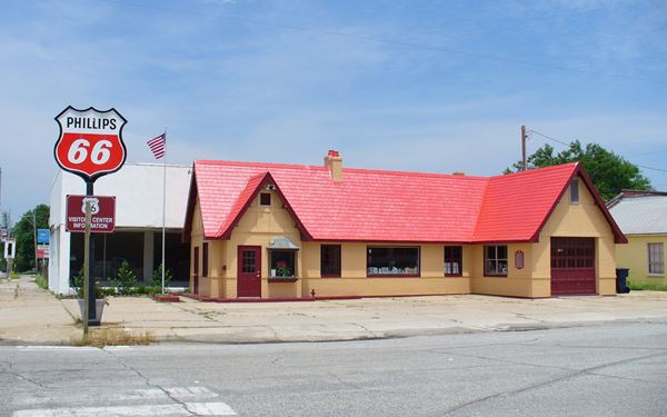
Historic Independent Oil and Gas Service Station in Baxter Springs KS
Credits. Click image for street view
Oklahoma
California ¦ Arizona ¦ New Mexico ¦ Texas ¦ Oklahoma ¦ Kansas ¦ Missouri ¦ Illinois
Route 66 itinerary across Oklahoma
Below are the legs we have split the course of U.S. 66 through Oklahoma, from East to West, starting at its NE corner in Commerce OK and ending on the state line in Texola. Find a detailed description with modern and old maps:
- KS-OK state line to Vinita - map of this segment
- Vinita to Tulsa - Map of this segment
- Tulsa to Chandler - Map of this segment
- Chandler to Yukon - Map of this segment
- Yukon to Clinton - Map of this segment
- Clinton to Texola - Map of this segment
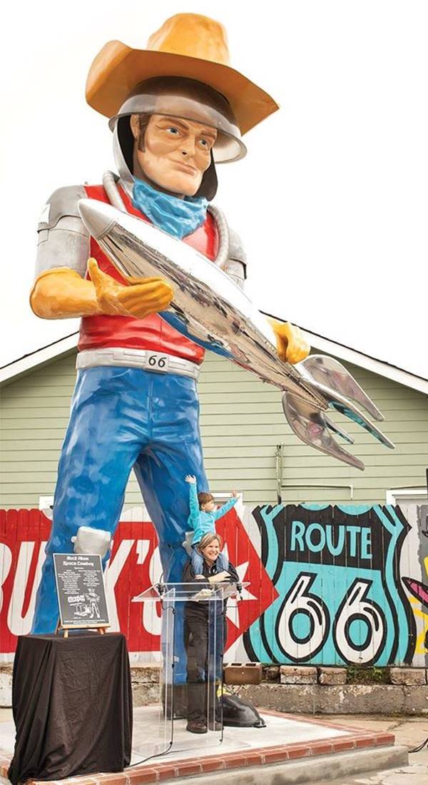
A Muffler Man on US 66 in Tulsa OK
Texas
California ¦ Arizona ¦ New Mexico ¦ Texas ¦ Oklahoma ¦ Kansas ¦ Missouri ¦ Illinois
Route 66 itinerary across Texas
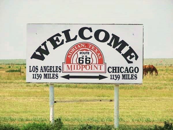
We divided the course of the highway across Texas into two legs, from Texola in the east to Glenrio on the NM state line. The midpoint of Route 66 is located in Adrian TX:
Midpoint Sign, Adrian TX
QuesterMark
New Mexico
California ¦ Arizona ¦ New Mexico ¦ Texas ¦ Oklahoma ¦ Kansas ¦ Missouri ¦ Illinois
Route 66 itinerary across New Mexico
We split the alignment of U.S. 66 into five legs to cover its longest segment, with 392 miles (631 km), in the whole of its alignment. From Glenrio on the eastern side to Lupton on the border with Arizona:
- Glenrio to Tucumcari - Map of this segment
- Tucumcari to Santa Rosa - Map of this segment
- Santa Rosa to Albuquerque - Map of this segment
- The Santa Fe Loop (1926-37) - Map of this segment
- Albuquerque to Lupton - Map of this segment
Arizona
California ¦ Arizona ¦ New Mexico ¦ Texas ¦ Oklahoma ¦ Kansas ¦ Missouri ¦ Illinois
Route 66 itinerary across Arizona
Arizona has many stretches of original highway and amazing natural spots like the Grand Canyon and the Petrified Forest, Route 66's itinerary from east to west begins in Lupton and ends on the Colorado river in Topock:
- Lupton to Winslow - Map of this segment
- Winslow to Winona - Map of this segment
- Winona to Williams - Map of this segment
- Williams to Kingman - Map of this segment
- Kingman to Topock - Map of this segment
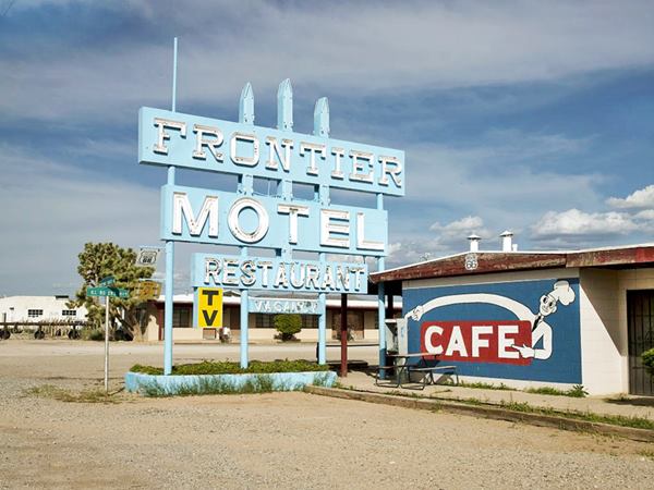
The Frontier Motel and Café
California
California ¦ Arizona ¦ New Mexico ¦ Texas ¦ Oklahoma ¦ Kansas ¦ Missouri ¦ Illinois
Route 66 itinerary across California
The complete itinerary of U.S. Hwy 66 from its starting point in Topock on the Colorado River across the Mojave desert, St. Andreas Fault, Cajon Pass and into Los Angeles, to reach the Pacific Ocean, the "End of the Road" in Santa Monica. We divided it into the following legs:
- Topock to Barstow - Map of this segment
- Barstow to Pasadena - Map of this segment
- Pasadena to Santa Monica - Map of this segment
It includes the Historic Arroyo Seco Parkway segment used by Route 66 from 1940 to 1964.
How much of Route 66 is still driveable in California?
Many people ask us:
>> How Much Of Route 66 Is Still Driveable In California?
Answer: Over 95% of Route 66 in California is still driveable.
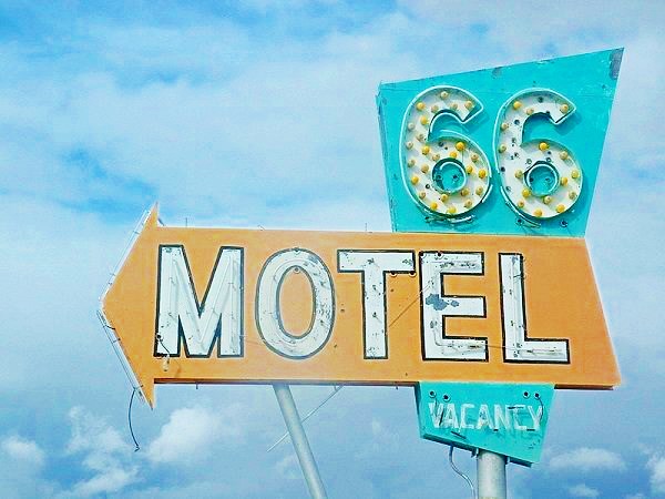
The Route 66 Motel Sign in Needles CA
More Useful Information about Route 66

Sponsored Content
>> Book your Hotel in Kingman AZ


Credits
Banner image: Hackberry General Store, Hackberry, California by Perla Eichenblat
Jack DeVere Rittenhouse, (1946). A Guide Book to Highway 66.

